Water Well Drilling & Pump Repair in Burleson, TX | DFW Well Service
Service Area Overview
Licensed well drilling and pump service in Burleson — a cross-county area straddling Johnson (Prairielands GCD) and Tarrant (Northern Trinity GCD).
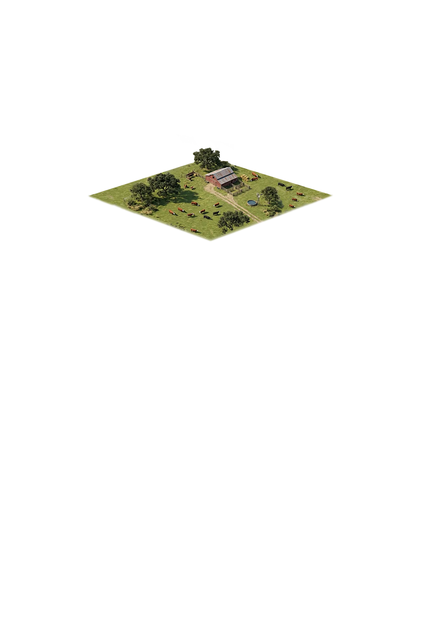
DFW Well Service provides water well drilling, pump repair, and inspection services in Burleson and throughout Johnson County. One of the fastest-growing communities in the Fort Worth metro area, Burleson sits on the southern edge of Tarrant County and stretches into Johnson County — a suburban boundary community where new development and established rural properties exist side by side. Many acreage properties throughout southern Johnson County still depend on private wells, and that’s where we come in.
Services We Provide in Burleson
Well Depth & Geology in the Burleson Area
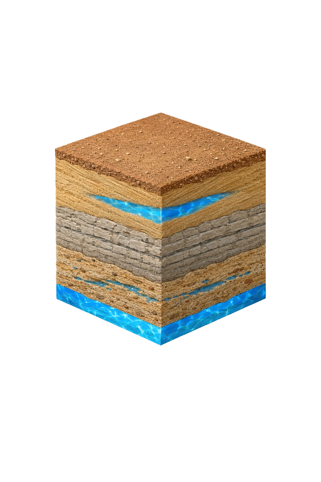
Tap any layer in the cube — or in the list below — to see what it is and what it means for drilling a well here.
- Topsoil — Blackland Prairie / Cross Timbers fringe0–15 ft
- Paluxy Sand (Trinity upper unit)outcrop west; deep east
- Glen Rose Formationbelow Paluxy
- Hosston Conglomerate (Trinity basal sand; = Twin Mountains)deepest Trinity
This cross-section shows the layer stack typical of Johnson County. The exact formations and depths under a specific Burleson-area property vary — see the details above.
- Primary Aquifer
- Trinity (Paluxy / Glen Rose / Hensell / Hosston)
- Typical Well Depth
- Varies by location
- Groundwater District
- Prairielands GCD
- Confinement
- outcrop/shallow subcrop in western Johnson County; deep confined beneath Eagle Ford/Austin Chalk in eastern Johnson County
Secondary: Woodbine (subsurface across central and eastern Johnson County)
We estimate from nearby well records
Johnson County overview → Permit & regulations → TDLR License #61234 DKMPW Updated June 4, 2026
Wells around Burleson draw mainly from the Trinity aquifer, in the transition zone between the Fort Worth prairie to the north and Johnson County’s Trinity country to the south. The Trinity’s upper Paluxy sand and the deeper Twin Mountains basal sand are the dominant water sources for domestic wells; between them sits the Glen Rose Formation, mostly limestone that holds little water and seals the sand below rather than producing from it. The Woodbine is a minor secondary source in parts of the area.
Drilling costs run $32–$50 per foot in Johnson County. Depth and formation hardness are the main variables in final project cost.
Cross-County GCD Note for Burleson
Burleson straddles the Johnson / Tarrant county line. The Johnson side falls under the Prairielands Groundwater Conservation District (PGCD), which covers Ellis, Hill, Johnson, and Somervell counties. The Tarrant side falls under Northern Trinity Groundwater Conservation District (NTGCD), which is a single-county Tarrant district. Spacing, fees, reporting cycles, and exempt-well rules differ between the two districts. Jurisdiction follows the physical location of the well bore — not the city limits or mailing address. Confirm your parcel’s county before drilling. See our guides to Johnson County water well regulations and Tarrant County water well regulations for each district’s process.
DFW Well Service (TDLR License #61234 DKMPW) serves Burleson and southern Johnson County for all well drilling and pump service needs. Call (940) 536-8560 for a free estimate.