
Rockwall County Water Well Regulations & Permit Requirements, TX
Quick Answer
Rockwall County has no GCD. No local permit is required, but a TDLR-licensed driller and state standards apply. State groundwater planning values are zero.
Which GCD Governs Rockwall County?
None. Rockwall County has no Groundwater Conservation District, so there is no local district to issue permits, set well-spacing rules, cap pumping, or require production reporting.
Wells in Rockwall County are regulated only by TDLR (driller and pump-installer licensure under Texas Occupations Code Chapters 1901 and 1902, and 16 Texas Administrative Code Chapter 76) and the default rules of Texas Water Code Chapter 36. No local permit, spacing rule, fee, or production-reporting requirement applies. One local wrinkle worth checking: many cities in Rockwall County (Rockwall, Heath, Royse City, Fate) have municipal ordinances on cross-connection between private wells and city plumbing. If your property is already on municipal service, verify city-level requirements before connecting a private well.
What that means for you as a property owner
A Rockwall County property owner has no local district to impose well spacing, pumping limits, or drought curtailment, and has no local-district avenue to challenge a neighbor’s pumping. Texas common law applies, including the rule of capture. State well-construction standards still apply.
In plain terms: the lack of a GCD is not a shortcut that makes drilling easier — it means there is no local referee if a neighbor’s pumping affects you. Combined with the limited groundwater here, that’s a real consideration before relying on a well.
What the State’s Planning Numbers Say
The Texas Water Development Board’s 2021 modeled-available-groundwater values for Rockwall County are zero acre-feet per year for the Trinity and Woodbine aquifers across the 2020–2080 planning horizon. That does not mean no water molecule exists beneath the county — it means the adopted state planning value for the relevant aquifer-and-county combination is zero. It is a clear planning signal that the county-scale groundwater system is not designed for residential reliance.
Step-by-Step: Drilling a Well in Rockwall County
| Step | Action | Who Is Responsible |
|---|---|---|
| 1 | Hire a TDLR-licensed water well driller and review nearby well logs first | Property owner |
| 2 | Confirm well siting and construction meet TDLR standards (16 TAC Chapter 76) | Licensed driller |
| 3 | Check city cross-connection ordinances if the property is on municipal service | Property owner |
| 4 | Drill the well — no local permit or pre-drilling approval is required in Rockwall County | Licensed driller |
| 5 | File the State of Texas Well Report with TDLR within 60 days of completion | Licensed driller |
| 6 | Test water quality before relying on the well | Property owner |
There is no local permit step because there is no GCD. The state well report is still required statewide and is filed by your driller.
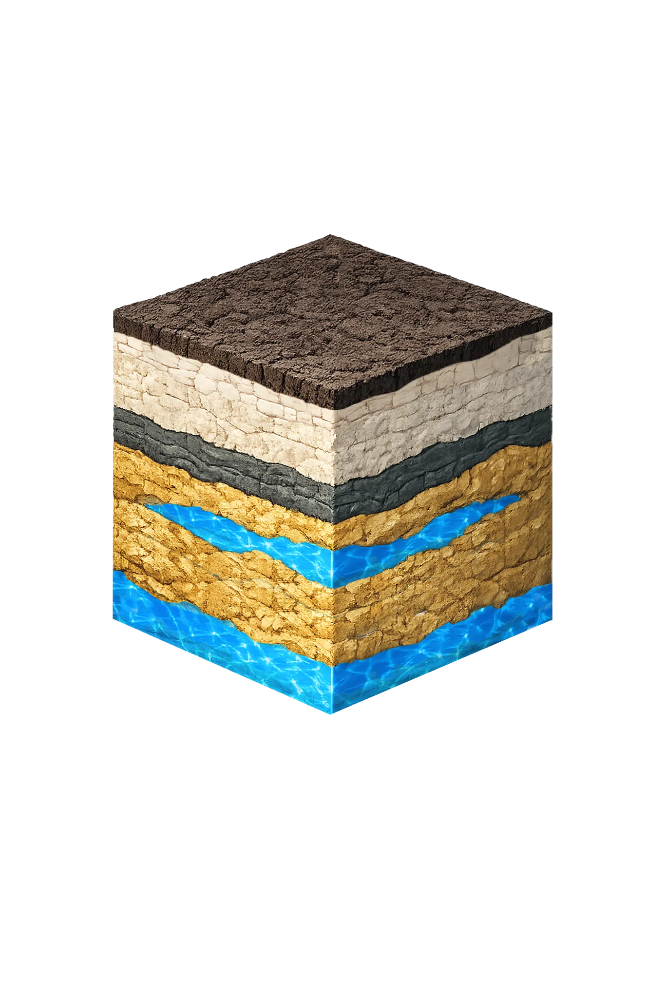
Rockwall County Geology & Typical Well Depths
Rockwall County sits on the Blackland Prairie, well east and downdip of where the region’s aquifers reach the surface. The Trinity Aquifer underlies the county but is deep, downdip, and confined — far from the recharge belt in Parker, Wise, and Denton counties — and it is not a practical residential aquifer here. The Woodbine is present in the subsurface but its quality degrades moving east-southeast, and it is not a dependable residential target across the county.
| Formation | Depth in Rockwall County | Role |
|---|---|---|
| Quaternary alluvium / terrace | Shallow, localized | Along East Fork Trinity and Lake Ray Hubbard margins; minor, surface-influenced; not a dependable aquifer |
| Taylor / Navarro Group | Surface across much of the county | Calcareous clay and marl; poor-yield aquitards |
| Austin Chalk / Eagle Ford | Below surface units | Limestone and shale; not dependable aquifers |
| Woodbine Group | Subsurface (regional projections place it roughly 600–1,200 ft, based on regional dip rather than local records) | Minor aquifer regionally; buried and brackish here; state planning value is zero |
| Trinity Group (Paluxy, Glen Rose, Twin Mountains) | Deep (regional projections exceed 2,000 ft) | Deep confined Trinity; not a normal residential target; state planning value is zero |
Note that the depth figures above are regional dip projections, not measured Rockwall County residential depths. There is no meaningful countywide depth figure for Rockwall County, because private wells are exceedingly rare and any individual well’s depth and yield are highly site-specific. Within the county, the same target sits deeper in the east (Royse City, Fate) than in the west (Rockwall, Heath), following the regional dip.
Where Your Water Actually Comes From
For practically every property in Rockwall County, the realistic water source is treated municipal water, not a private well. Rockwall and Royse City are NTMWD member cities. Fate purchases treated water from NTMWD. Heath buys treated water from the City of Rockwall, which is itself an NTMWD member.
One point worth clearing up for lakefront owners: Lake Ray Hubbard is a City of Dallas reservoir, and NTMWD does not draw from it. Being near the lake does not give you a local groundwater source — the practical alternative to a private well in Rockwall County is treated municipal water through one of the NTMWD-connected systems.
Water Quality You Should Expect
Where groundwater is reached at all, expect challenges. Total dissolved solids tend to be elevated in the Woodbine and deep Trinity — Rockwall County is part of the TWDB’s brackish-Woodbine study area — and sulfate and chloride concentrations may exceed EPA secondary drinking-water standards in deep targets. Deep Trinity water in this region is typically high in sodium, which is a concern for landscape plants and soil. Any shallow alluvial water near the lake or stream corridors is vulnerable to surface influence and should be treated as site-specific.
After drilling any well, test for coliform bacteria, nitrates, total dissolved solids, sulfate, chloride, and sodium, and plan for treatment. Test before purchasing any treatment equipment.