
Kaufman County Water Well Regulations & Permit Requirements, TX
Quick Answer
Kaufman County has no GCD. No local permit required to drill, but a TDLR-licensed driller and statewide construction standards apply. Groundwater is limited.
Where private wells exist in Kaufman County, they are usually on rural tracts outside the cities of Forney, Terrell, Kaufman, Crandall, and Mabank, often near the Trinity River or East Fork Trinity alluvial corridors. The honest picture is that groundwater here is limited and very location-dependent. Before you budget for a well, talk to a licensed driller and review nearby well logs for your specific tract.
Which GCD Governs Kaufman County?
None. Kaufman County has no Groundwater Conservation District, so there is no local district to issue permits, set well-spacing rules, cap pumping, or require production reporting.
Wells in Kaufman County are regulated only by TDLR (driller and pump-installer licensure under Texas Occupations Code Chapters 1901 and 1902, and 16 Texas Administrative Code Chapter 76) and the default rules of Texas Water Code Chapter 36. No local permit, spacing rule, fee, or production-reporting requirement applies. TCEQ’s March 2026 statewide GCD map confirms Kaufman County remains outside any GCD.
What that means for you as a property owner
A Kaufman County property owner has no local district to impose well spacing, pumping limits, or drought curtailment, and has no local-district avenue to challenge a neighbor’s pumping. Texas common law applies, including the rule of capture. State well-construction standards still apply.
That last point matters here in a specific way: because the deep aquifers beneath Kaufman County recharge very slowly, a deep well can be vulnerable to a neighbor’s pumping even though the county itself produces little groundwater. With no local district, there is no local avenue to address that.
Step-by-Step: Drilling a Well in Kaufman County
| Step | Action | Who Is Responsible |
|---|---|---|
| 1 | Hire a TDLR-licensed water well driller and review nearby well logs first | Property owner |
| 2 | Confirm well siting and construction meet TDLR standards (16 TAC Chapter 76) | Licensed driller |
| 3 | Drill the well — no local permit or pre-drilling approval is required in Kaufman County | Licensed driller |
| 4 | File the State of Texas Well Report with TDLR within 60 days of completion | Licensed driller |
| 5 | Test water quality before relying on the well | Property owner |
There is no local permit step because there is no GCD. The state well report is still required statewide and is filed by your driller.
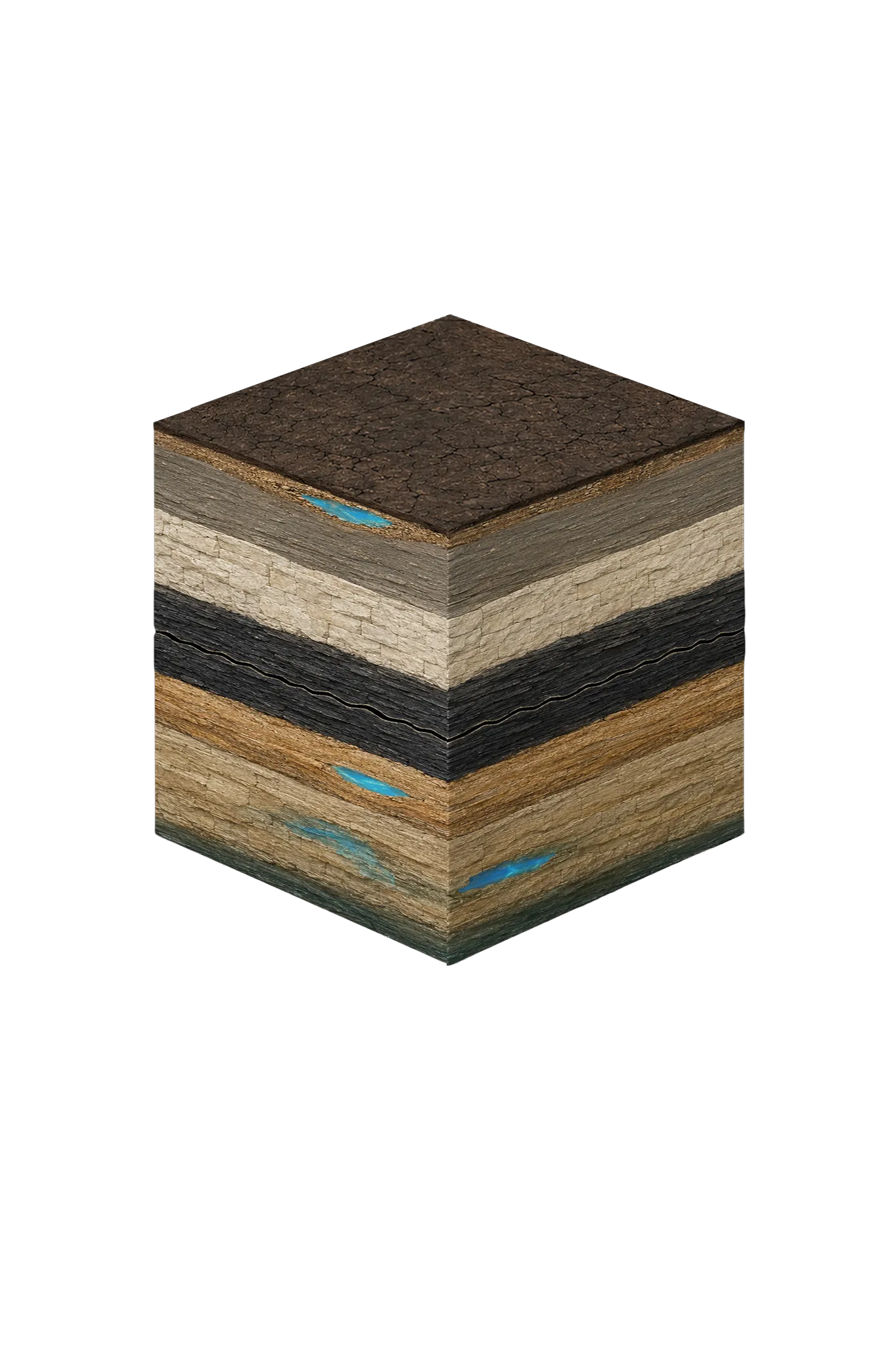
Kaufman County Geology & Typical Well Depths
Kaufman County sits on the Blackland Prairie, east of the Dallas area and downdip from where the region’s aquifers reach the surface. There are three very different groundwater scenarios here, and they do not share a single “typical depth.”
| Formation | Depth in Kaufman County | Role |
|---|---|---|
| Trinity River / East Fork Trinity alluvium | Roughly 30–80 ft where present | The most practical shallow source where it exists; seasonal yield, surface-contamination risk; site-specific only |
| Taylor Group | Surface across much of the county | Marl and calcareous clay; non-productive |
| Austin Chalk / Eagle Ford | Below surface units | Chalk, limestone, and shale; not dependable aquifers |
| Woodbine Group | Subsurface (western Kaufman County, roughly 600–1,200 ft by regional projection) | Minor aquifer; may be usable in western Kaufman County, quality degrades eastward; not a countywide target |
| Trinity Group (Paluxy, Glen Rose, Twin Mountains) | Deep (regional projections roughly 2,500–3,500+ ft) | Deep, confined, and brackish at this depth; not a routine residential target |
The depth figures for the Woodbine and Trinity are regional dip projections, not measured Kaufman County residential depths. Western Kaufman County, where Forney sits, is the most plausible setting for a private well because it is closer to the Woodbine outcrop band to the north and west. Eastern Kaufman County — Terrell and eastward — is dominated by Taylor Group clays at the surface, with all water-bearing units deeper, and groundwater options there are very limited and the depth to productive sand is cost-prohibitive.
There’s no single typical well depth for Kaufman County, because these three scenarios are so different. A shallow alluvial well near a river drainage and a deep Trinity well are not comparable in depth, yield, cost, or quality.
Where Your Water Actually Comes From
For most Kaufman County properties, the realistic water source is treated municipal water. Kaufman County is in the state’s Region C planning area, and most municipal service comes from NTMWD or NTMWD-connected systems serving Forney, Terrell, Kaufman, Crandall, Mabank, and various water supply corporations and special utility districts. Between January 2016 and November 2023, no Kaufman County public water system reported on TCEQ’s 180-day priority list, an indicator of generally stable municipal supply.
Water Quality You Should Expect
Water quality in Kaufman County groundwater depends on the source. Total dissolved solids increase with depth across the Trinity — Kaufman County is in the TWDB’s brackish Northern Trinity study area — and deep Trinity water is expected to be brackish, with sulfate and chloride rising with depth. Woodbine water is often high in iron and manganese and needs filtration. Any shallow alluvial well carries real surface-contamination, septic, and agricultural-runoff risks.
After drilling any well, test for coliform bacteria, nitrates, total dissolved solids, iron, manganese, sulfate, and chloride, and plan for treatment based on the results. Test before purchasing any treatment equipment.