Hunt County Water Well Regulations & Permit Requirements, TX
Quick Answer
Hunt County has no GCD. No local permit required, but a TDLR-licensed driller and state standards apply. Main local aquifer is the Nacatoch Sand, not Trinity.
Which GCD Governs Hunt County?
None. Hunt County has no Groundwater Conservation District, so there is no local district to issue permits, set well-spacing rules, cap pumping, or require production reporting.
Wells in Hunt County are regulated only by TDLR (driller and pump-installer licensure under Texas Occupations Code Chapters 1901 and 1902, and 16 Texas Administrative Code Chapter 76) and the default rules of Texas Water Code Chapter 36. No local permit, spacing rule, fee, or production-reporting requirement applies. TCEQ’s March 2026 statewide GCD map confirms Hunt County remains outside any GCD.
What that means for you as a property owner
A Hunt County property owner has no local district to impose well spacing, pumping limits, or drought curtailment, and has no local-district avenue to challenge a neighbor’s pumping. Texas common law applies, including the rule of capture. State well-construction standards still apply.
There’s a Hunt-specific wrinkle to this. The Nacatoch recharges very slowly, and faulting can sharply separate one part of the aquifer from another. That means a neighbor’s pumping can have a real and persistent effect on your well — and with no local district, there’s no local avenue to resolve it. That’s worth understanding before you rely on a Nacatoch well as your only water source.
Step-by-Step: Drilling a Well in Hunt County
| Step | Action | Who Is Responsible |
|---|---|---|
| 1 | Hire a TDLR-licensed water well driller and review nearby well logs first | Property owner |
| 2 | Confirm well siting and construction meet TDLR standards (16 TAC Chapter 76) | Licensed driller |
| 3 | Drill the well — no local permit or pre-drilling approval is required in Hunt County | Licensed driller |
| 4 | File the State of Texas Well Report with TDLR within 60 days of completion | Licensed driller |
| 5 | Test water quality before relying on the well | Property owner |
There is no local permit step because there is no GCD. The state well report is still required statewide and is filed by your driller.
Hunt County Geology & Typical Well Depths
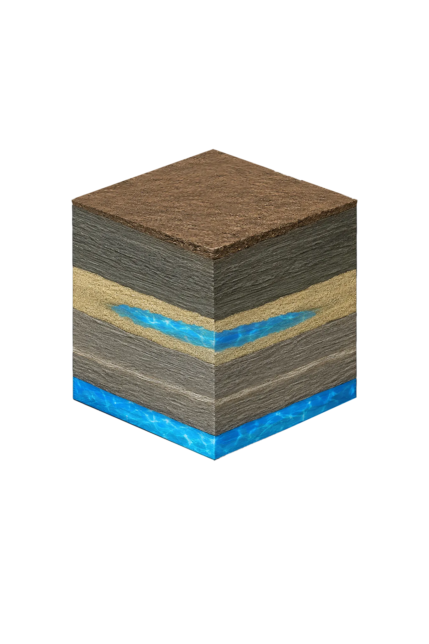
Hunt County sits on the Blackland Prairie. The principal local groundwater source is the Nacatoch Sand, a minor aquifer that outcrops in a belt running from north of Commerce southwestward through Cash toward the southwest corner of the county. The Nacatoch is alternating fine-grained quartz sand and mudstone — its freshwater saturated thickness averages only about 50 feet, with a locally connected alluvial cover up to about 80 feet thick. Yields are small to moderate.
| Formation | Depth in Hunt County | Role |
|---|---|---|
| Black prairie soil over marls and chalks | Surface | Deep calcareous soil; not an aquifer |
| Navarro Group clays and marls (Kemp Clay, Corsicana Marl) | Above the Nacatoch | Clay and marl; not aquifers |
| Nacatoch Sand | Roughly 300–650 ft (site-specific) | Principal local aquifer; sand-lens variability and faulting make depth vary |
| Taylor Group (incl. Wolfe City Sand), Austin Group | Below the Nacatoch | Not Hunt County water sources per TWDB |
| Woodbine Sand | Near Celeste only (northwestern county) | Good-quality water near Celeste; saline a short distance south; not a countywide target |
| Trinity Group | Very deep (regional projections exceed 3,000 ft) | Not a residential target in Hunt County |
The 300–650 ft Nacatoch range is planning context drawn from TWDB Hunt County records, not a guaranteed depth — sand-lens variability and faulting mean your actual depth can differ. There is one important local exception to the Nacatoch story: northwestern Hunt County, around Celeste (about 12 miles updip from Greenville), is where the Woodbine Aquifer yields good-quality water. A short distance south of Celeste the Woodbine becomes highly mineralized, so it is not a countywide option — it’s the practical local target only in the Celeste area. The highest density of private Nacatoch wells is in the rural unincorporated areas, including the corridors between Greenville and Quinlan and north of Lone Oak.
Why Nacatoch Wells Don’t Refill Quickly
The Nacatoch recharges by rainfall soaking into its outcrop, but the soils there are slowly permeable and the recharge is small — TWDB estimated effective recharge at only about half a percent of average annual rainfall on the rechargeable outcrop. Monitoring of two Hunt County test holes showed only about two feet of water-level change over a year that included several heavy rains. In practical terms, a Nacatoch well does not behave like a quickly-refilling shallow sand well, and long-term water levels track closely with how much is pumped.
Where Your Water Actually Comes From
For most Hunt County properties, the realistic water source is treated municipal water. Hunt County is in the state’s Region D planning area. Greenville draws from Lake Tawakoni through the Sabine River Authority, and several Hunt County systems and special utility districts purchase treated water from NTMWD. Region D planning has projected supply deficits for several Hunt County systems, so municipal supply here is being actively managed.
Water Quality You Should Expect
Nacatoch water has a distinctive chemistry. It is generally alkaline and high in sodium bicarbonate, which makes it soft rather than hard — different from the calcium-hardness common in Trinity wells to the west. Total dissolved solids in the downdip Nacatoch often run 500–1,500 mg/L, and a brackish belt exists in parts of the county. Sulfate and chloride are highly variable: a TWDB Greenville-area study found more than half of sampled wells had chloride or sulfate (or both) above 250 ppm. Iron is commonly moderate to high and usually requires filtration to prevent staining. Because of its high sodium, Nacatoch water is also not ideal for landscape irrigation.
After drilling, test for coliform bacteria, nitrates, total dissolved solids, sodium, chloride, sulfate, and iron, and plan for treatment based on the results. Test before purchasing any treatment equipment.