
Fannin County Water Well Regulations & Permit Requirements, TX
Quick Answer
Fannin County is in the Red River GCD. New wells must be registered and obtain a Notice to Proceed before drilling and operation.
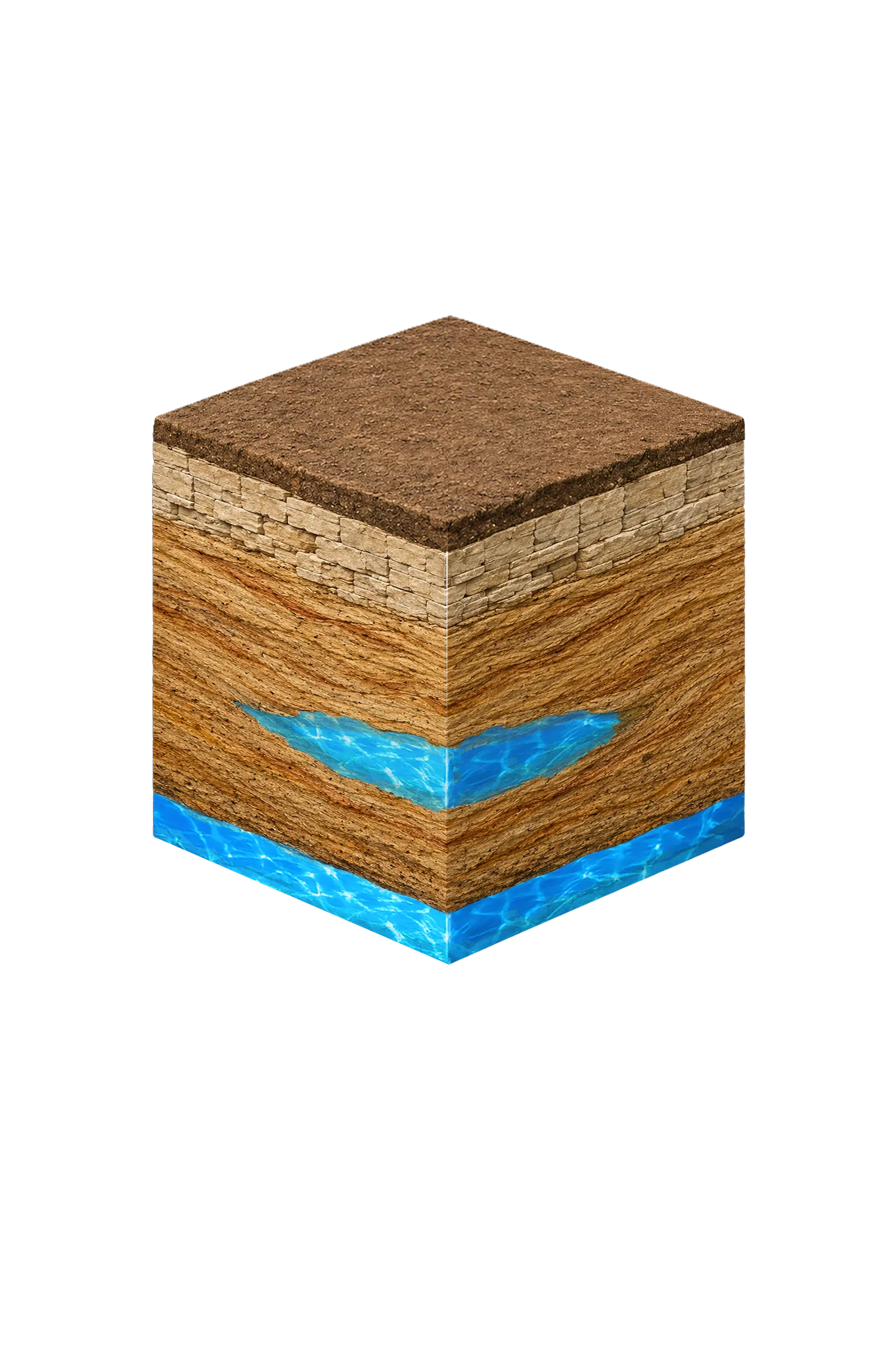
Fannin County sits along the Red River northeast of the DFW core. The county’s groundwater story is dominated by the Upper Cretaceous Woodbine Formation, which crops out in a broad band running roughly parallel to the Red River across the county. The deeper Trinity Group is present beneath central and southeastern Fannin County as the Antlers Formation, but the Trinity is generally too deep for residential drilling here. Whether you are drilling a new home well, a ranch supply, or replacing a failing system, your regulatory starting point is the Red River Groundwater Conservation District.
Which GCD Governs Fannin County?
Fannin County is fully within the Red River Groundwater Conservation District (Red River GCD), which also covers Grayson County. The District was created in 2009 by the 81st Texas Legislature under Texas Special District Local Laws Code Chapter 8859. Its mission is conserving, preserving, protecting, and preventing waste of groundwater resources in Grayson and Fannin Counties. The District’s office is at the GTUA Board Room, 5100 Airport Drive, Denison, in neighboring Grayson County.
| Step | Action | Who Is Responsible |
|---|---|---|
| 1 | Hire a TDLR-licensed water well driller | Property owner |
| 2 | Submit well registration to Red River GCD | Licensed driller |
| 3 | Receive Notice to Proceed — drilling may not begin before this | Red River GCD |
| 4 | If capacity will exceed 17.36 gpm, obtain a production permit | Licensed driller / property owner |
| 5 | If aggregate capacity will be 200 gpm or more, submit a hydrogeological report | Property owner / consulting hydrogeologist |
| 6 | Drill well in compliance with the Notice to Proceed and permit conditions | Licensed driller |
| 7 | File completion report with TDLR within 60 days | Licensed driller |
Exempt vs. Non-Exempt Wells in Fannin County
Red River GCD uses gpm capacity, not gallons-per-day, to define exempt wells. There are two separate exemption rules — the modern rule and the pre-effective-date rule — and they apply to different wells.
Pre-Effective Date Exempt Wells
Leachate wells, monitoring wells, piezometers, and domestic, livestock, or wells with capacity less than 27.7 gpm drilled before April 1, 2012 are not required to be registered with the District. This is Red River GCD’s Pre-Effective Date exemption.
The District encourages voluntary registration of these wells because unregistered wells are not protected under District Rules from potential impacts caused by new wells. If you own an older well that qualifies for this exemption, voluntary registration is the practical way to put your well on the District’s map and protect it during future permit reviews.
Modern Exempt Wells
For wells drilled on or after January 1, 2019, the rule is 17.36 gpm capacity. A new well that does not exceed 17.36 gpm capacity is treated as exempt for District management plan purposes. This is the rule that applies to most new domestic and livestock wells in Fannin County today.
Note: 17.36 gpm capacity over a 24-hour day works out to roughly 25,000 gpd, which is the state default exempt-volume figure under Texas Water Code Section 36.117. Red River GCD’s rule is written in gpm capacity terms — use the gpm figure, not the 25,000 gpd state default framing.
Non-Exempt Wells
All new wells or well systems with capacity greater than 17.36 gpm require a production permit before drilling and operation. A hydrogeological report is required for any new well or well system with proposed aggregate capacity of 200 gpm or more, and for additions to an existing system that increase aggregate capacity by 200 gpm.
Registration and Notice to Proceed
Every new water well in Fannin County must be registered with Red River GCD and receive a Notice to Proceed before drilling and operation. Registration is the District’s gate, regardless of whether the well will be exempt or non-exempt. Your TDLR-licensed driller handles this on your behalf; do not begin drilling before the Notice to Proceed is in hand.
Well Spacing
Red River GCD’s District Rules govern spacing, production limits, production reporting, fees, waste, and Desired Future Conditions for the District’s managed aquifers. Specific spacing distances should be confirmed against the current Red River GCD District Rules at redrivergcd.org before you plan a well location; the District has noted ongoing policy work on Local Management Model and Well Spacing Requirements as recently as its November 20, 2025 board meeting. Your licensed driller will check the current rules as part of the registration step.
Reporting Requirements
Non-exempt wells must submit monthly meter readings collected within 10 days of the last day of each month, on a quarterly cycle. Meter readings are due within 30 days after the end of the quarter, and production fees are due within 60 days after the end of the quarter. The District’s management plan targets 95 percent reporting compliance.
Modern exempt wells (under 17.36 gpm, drilled on or after January 1, 2019) do not have production-reporting obligations beyond registration and the Notice to Proceed.
Pre-Effective Date Exempt wells (under 27.7 gpm, drilled before April 1, 2012) are not required to be registered at all. Voluntary registration is encouraged for the protection it confers under District Rules.
Fees
Red River GCD’s Updated 2025-2026 Fee Schedule, effective August 1, 2025, sets registration and production-permit fees plus a non-exempt water-use fee. The District’s Board updates fees periodically; confirm current rates on the Red River GCD fee schedule at redrivergcd.org before you budget.
County-Line Notes
Fannin County borders Grayson County to the west — same GCD, same rules. Fannin County’s eastern boundary is with Lamar County, which is outside Red River GCD; properties near the Fannin-Lamar line fall under a separate groundwater jurisdiction. If your property is near the eastern county line, confirm which GCD your parcel is in before you start the registration process.
Working With a Licensed Driller
All water wells in Texas must be drilled by a contractor holding a valid TDLR Water Well Driller license. In Fannin County, an experienced driller will check nearby TWDB-submitted driller logs to estimate where the Woodbine sits on your parcel — shallow on or near the outcrop band, much deeper toward the downdip eastern county line — and will handle the Red River GCD registration and Notice to Proceed from start to finish.
DFW Well Service (TDLR License #61234 DKMPW) drills throughout Fannin County — Bonham, Honey Grove, Leonard, Trenton, Savoy, and the surrounding rural areas. Call us at (940) 536-8560 to discuss your property and get a site-specific estimate.
Fannin County’s Woodbine-centered geology rewards careful reading of nearby driller logs and patient assessment of where on the outcrop band your parcel sits. With the right contractor and a clear understanding of Red River GCD’s registration and Notice to Proceed process, most Fannin County property owners complete well installation without major surprises.